
Release date:2013, October 12
Author:VICTOR WOLANSKY
Skill level:Beginner
Language:English
Exercise files:Yes
In this advanced course, Victor Wolansky will share advanced techniques on how to use survey information for a variety of purposes. This includes how to match cameras to real world coordinates, cross link tracking points from multiple cameras for better precision, and using survey data from Survey Stations. This is information which is very precise, so much so that you can force SynthEyes to constrain to those points to even solve shots without any motion.
Later we will export these shots with multiple cameras to 3DS MAX and keep it all in real world units to match purchased or modeled to real sizes. We will also take a look the new distortion / undistortion workflow in the app as well as examine how to use LIDAR scans in SynthEyes and constrain tracking points to the point could.
Quite a few new very useful features where included in SynthEyes in the last versions, and the “Phases” is anptjer invaluable tool we are going to be using along the course.
CLASS 1
Tracking of camera along a road with surveyed information, alignment and scaling to real world coordinates.
CLASS 2Tracking of two moving cameras Part 1. With survey information and 2 static cameras, different resolutions and different aspect ratios, one is a panorama. Crosslink of all the cameras.
CLASS 3Tracking of two moving cameras Part 2.
CLASS 4New undistortion / distortion with After Effects.
CLASS 5Importing of all these cameras, maintaining real size measurements, aligning with a road built based on the survey data. Some techniques in MAX / Final render to match lighting, catch shadows, reflections, etc.
CLASS 6Using 3D objects to assist tracking, having geometries to constraint the trackers makes things easier.
CLASS 7LIDAR recommendations and learning new ways to navigate the software, getting comfortable with perspective navigation is a must to deal with huge sets.
CLASS 8LIDAR Tracking two shots, a simple one and one that is pretty complicated.
CLASS 9LIDAR finishing shots, using shadow catchers with test objects given our ground is lower than zero.
CLASS 10 Completing the difficult track from the previous lesson.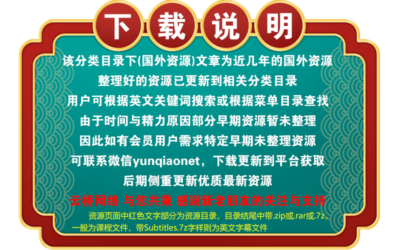 Channel
1、登录后,打赏30元成为VIP会员,全站资源免费获取!
2、资源默认为百度网盘链接,请用浏览器打开输入提取码不要有多余空格,如无法获取 请联系微信 yunqiaonet 补发。
3、分卷压缩包资源 需全部下载后解压第一个压缩包即可,下载过程不要强制中断 建议用winrar解压或360解压缩软件解压!
4、云桥网络平台所发布资源仅供用户自学自用,用户需以学习为目的,按需下载,严禁批量采集搬运共享资源等行为,望知悉!!!
5、云桥网络-CG数字艺术学习与资源分享平台,感谢您的赞赏与支持!平台所收取打赏费用仅作为平台服务器租赁及人员维护资金 费用不为素材本身费用,望理解知悉!
6、For users outside China, if Baidu Netdisk is not convenient for downloading files, you can contact WeChat: yunqiaonet to receive a Google Drive download link.
评论(0)